January 2014 - Currently in La Cruz anchorage in Banderas Bay Mexico (across the bay from Puerto Vallarta)

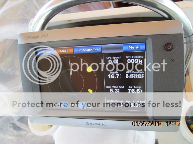
We started using the Garmin GMR 18 HD Radar to anchor. Once we drop anchor Debbie stets a waypoint on the Garmin
chart plotter.
Then we look at the radar screen to determine if there are any
boats in our swing zone.
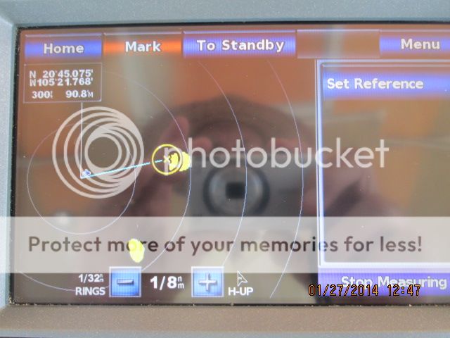
Our first
"ring" on the radar screen is 1/32 of a NM (zoomed in) and that
equals 190 feet.
So we are anchoring in 18 feet of water with 6’
from bow to water so 18 + 6 = 24 feet. Times that by 5 for chain and we get 125
feet. Add 36 feet for the boat and say 10 feet for the Kato Marine Island Davits and bow pulpit
and we get 46 feet.
Add 46 feet to 125 feet and we get
171 feet. So that is lose enough to 190 feet. Actually we would not be pulling
our road out straight however there are times like in this large swell and wind
we are having that we do stretch it right out. Any way our swing zone would be
190 feet. You get the idea. This works great and you can get an idea right off
if there is a boat we may get to close to. Especially if one is stern anchored.
Showing two boats near us at this scale.
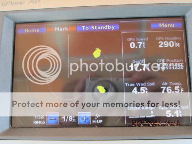
You can see me taking the picture in the screen.
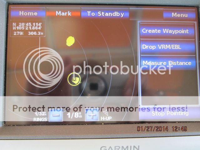
Measuring the distance from our boat.
Also we can measure from our spot to
the boat near us to be sure if need be.
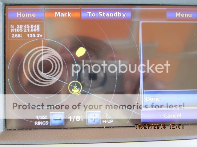
Using the VRM to do the same thing.
No comments:
Post a Comment